Accession No
4882
Brief Description
wallchart showing climatic regions (?) of Europe, English
Origin
Cambridge
Maker
Class
natural history; earth sciences(?); meteorology; prints
Earliest Date
1900
Latest Date
1967
Inscription Date
Material
cloth; paper
Dimensions
breadth 1421mm; height 1012mm
Special Collection
Botanical teaching diagrams from Dept. of Plant Sciences
Provenance
Transferred from the Department of Plant Sciences, University of Cambridge.
Inscription
Description Notes
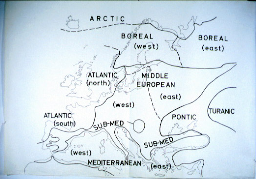
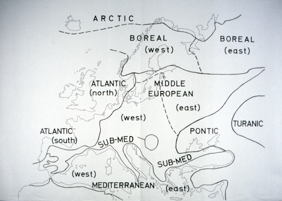
Black ink outline map of Europe and Russia, with regions marked by lines, and labelled: Arctic, Atlantic (north and south), Boreal (west and east), Middle European (west and east), Mediterranean (west and east), Sub-Med, Pontic, and Turanic.
Regional headings are in block capitals, with subheadings (eg south) below in brackets, and lowercase letters.
Ref number on reverse.
References
Events
FM:41519
Images (Click to view full size):