Accession No
5343
Brief Description
jigsaw puzzle maps, “Atlas Universal de Geographie”, by Magasin Le Maire, French, 1900 (c)
Origin
France; Paris; 2 Rue Chapon
Maker
Magasin Le Maire Aine, Bastien
Class
cartography; demonstration
Earliest Date
1850
Latest Date
1950
Inscription Date
Material
paper (card, cardboard); cloth (silk); wood (unknown)
Dimensions
dEPTH 251MM; WIDTH 320MM; HEIGHT 57MM
Special Collection
Provenance
Purchased from Trevor Phillips and Sons, 75a Jermyn Street, St James, London, England on 29/10/1998.
Inscription
on lid of box
ATLAS UNIVERSEL
DE GÉOGRAPHIE,
découpé
en Yeu dé pàtience
POUR L’INSTRUCTION DE LA JEUNESSE
Description Notes
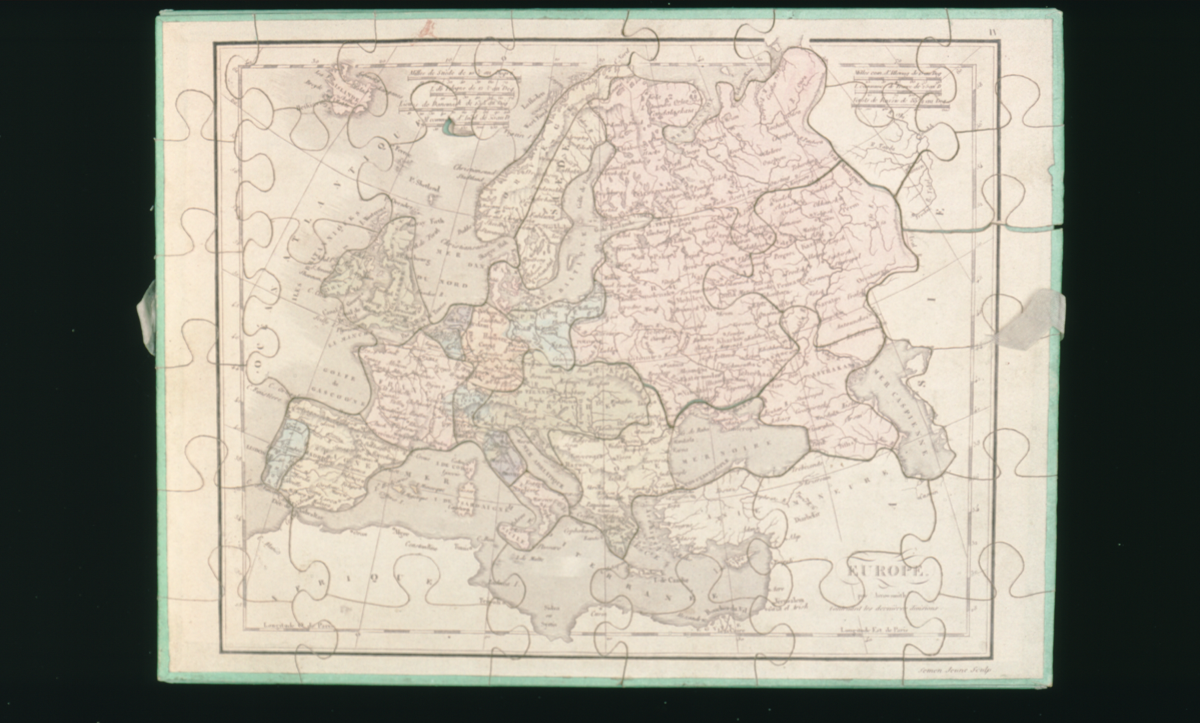
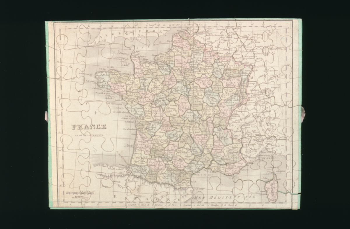
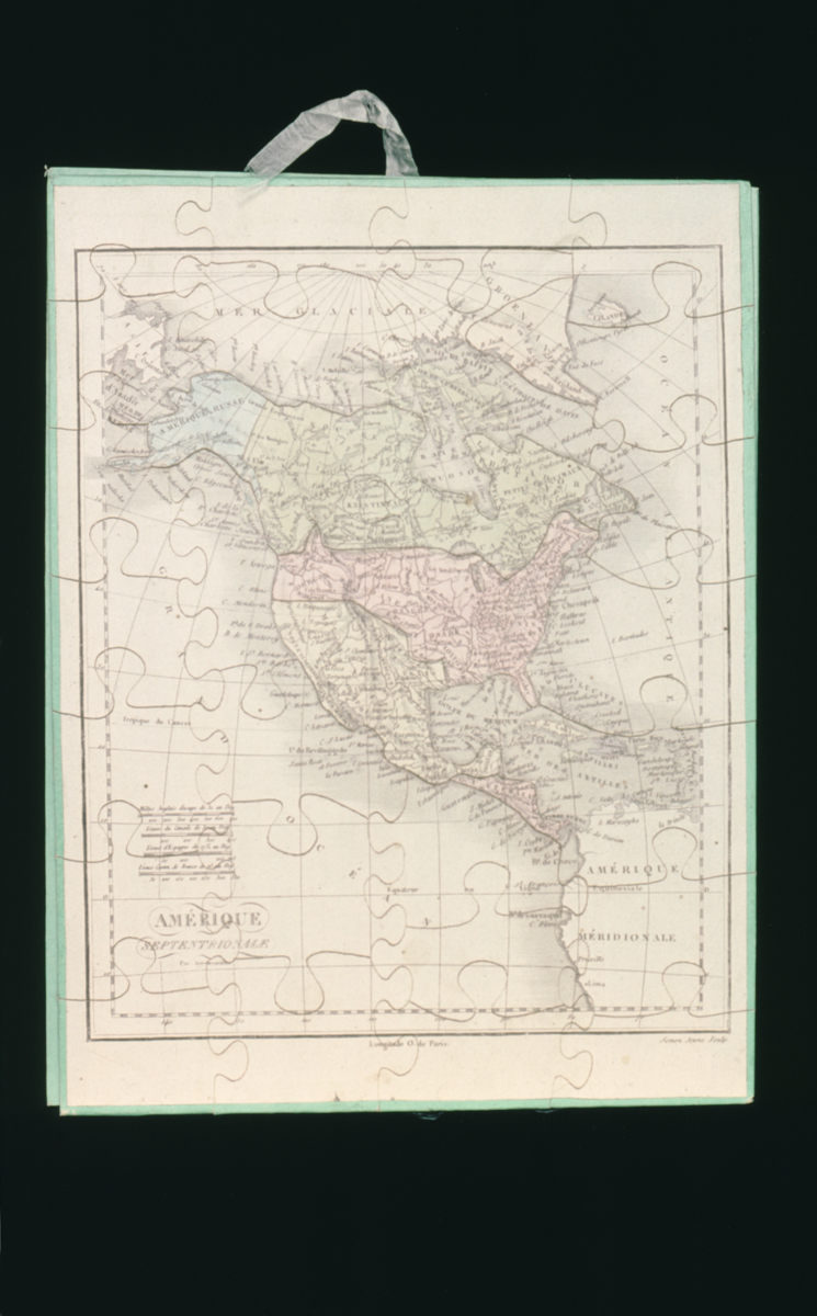
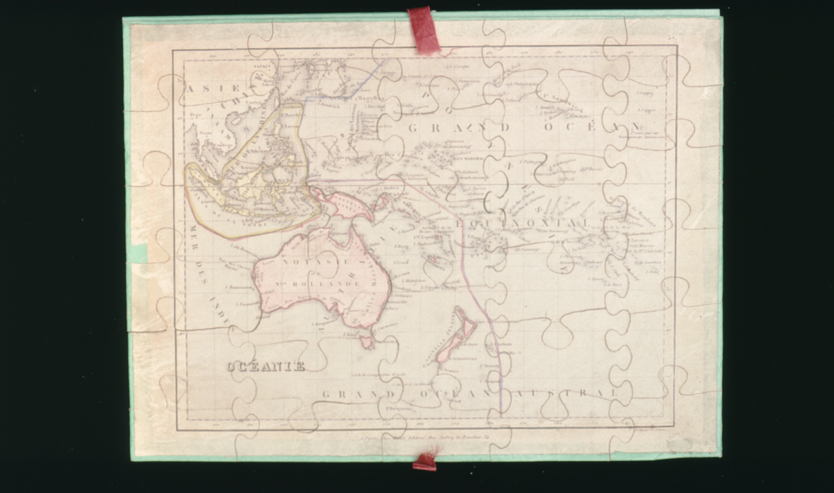
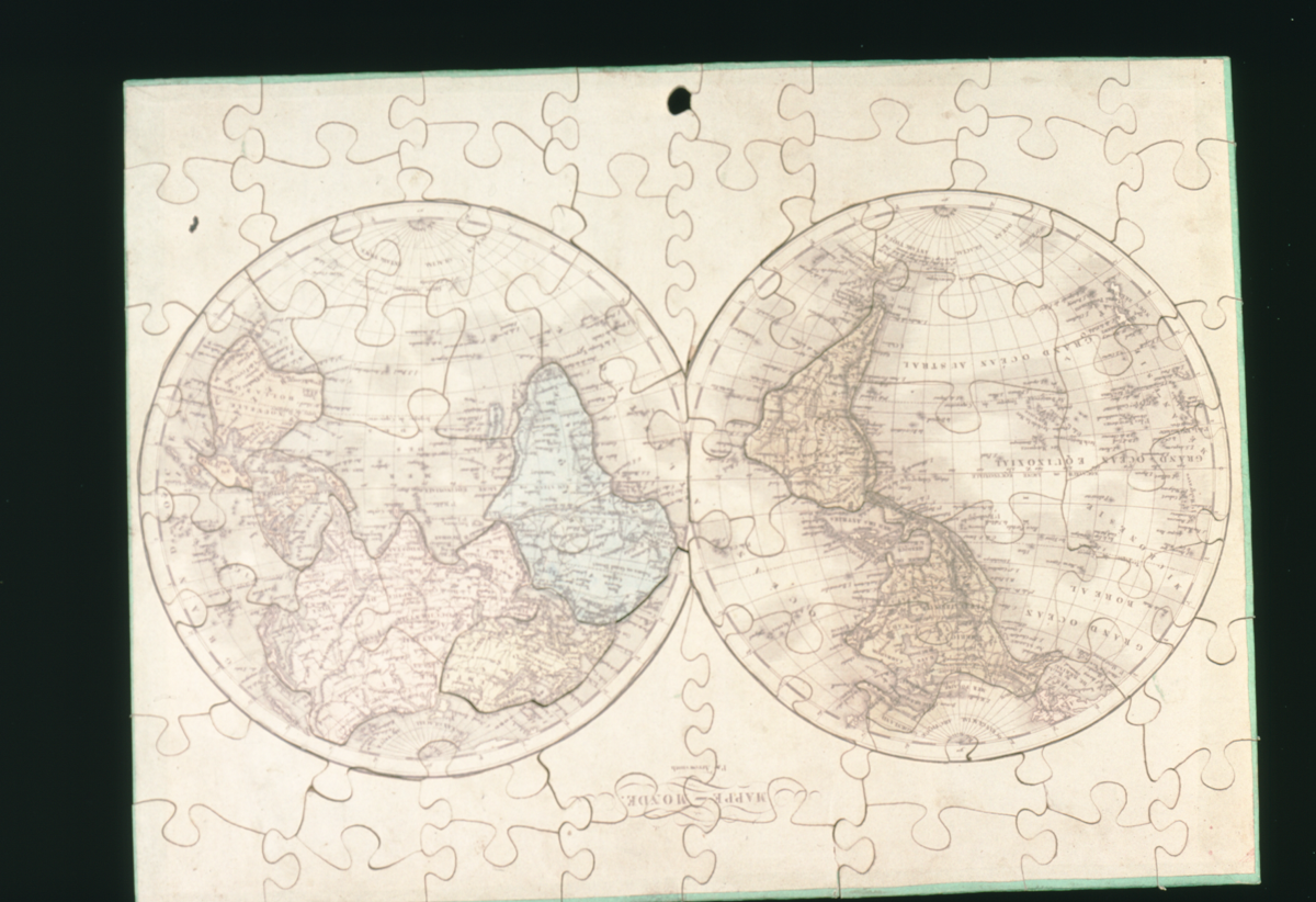
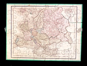
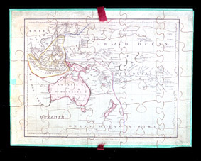
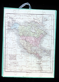
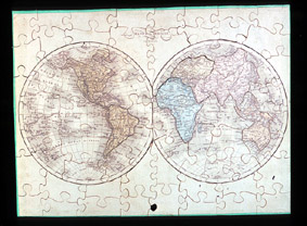
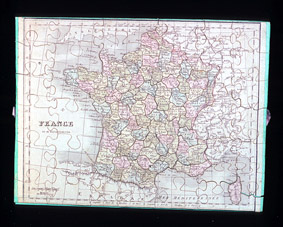
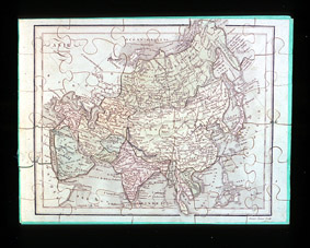
“Atlas Universal de Geographie”, jigsaw puzzle map, by Magasin Le Maire, French, c. 1900.
Blue lidded box, highly decorated paper with gold stencilling showing scientific instruments such as a telescope and compass. Edges leather bound. Inside are nine jigsaw puzzle plates. The maps are of the east and west hemispheres, France, Africa, Asia, North America, South America, Australasia and Europe. They are in colour. All pieces are present. The individual pieces are backed with green paper and are supported in the completed image on green paper covered card panels. Attached to the panels are silk ribbon for the purpose of lifting the separate jigsaws out of the box.
References
Events
FM:45676
Images (Click to view full size):