Accession No
5847
Brief Description
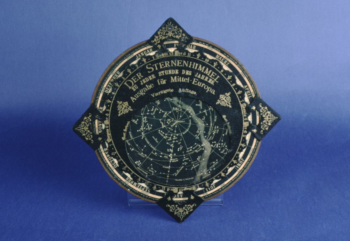
‘Der Sternenhimmel’ card planisphere, German, late 19th to early 20th Century
Origin
Germany
Maker
Class
astronomy
Earliest Date
1850
Latest Date
1950
Inscription Date
Material
paper (card - 2 types, paper)
Dimensions
height 39mm x 39mm Disc diameter: 26mm
Special Collection
Provenance
Purchased before 18/10/2001.
Inscription
Der Sternenhimmel
zu jeder stunde des jahres.
Ausgabe für Mittel - Europa.
Vierzigste Auflage.
Description Notes
‘Der Sternenhimmel’ German planisphere, late 19th - early 20th C.
Black leather effect card planisphere with embossed gold lettering. Card disc is divided into 12 segments each headed around the circumference by a month of the year in German. Each month segment is divided into 2 day intervals. The disc turns to reveal a map of the constellations through an ovular hole in the leather-look card front, corresponding to the day and month.
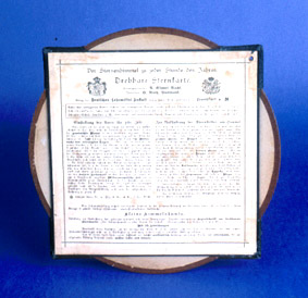
The back is covered in extensive instructions and notes in German.
Condition good.
References
Events
Description
Celestial planisphere
A planisphere is a device that shows the groups of stars (constellations) that can be seen in the sky at any time of the year in a particular location.
Different stars are visible in the sky depending on where you are on the earth’s surface. A planisphere is therefore designed for a certain area, showing the stars visible in that particular latitude zone (the position above/below the equator).
A planisphere consists of a star chart, i.e. a map of the sky, with the days of the year around the edge. The star chart is attached at its centre to a circular overlay with the hours of the day around the edge. The overlay has a window or hole so that only a portion of the sky will be visible in the window at any given time. Both parts are mounted so that they are free to rotate about a common pivot point at their centres. By lining up the correct date with the time of day you will get a map of what you can see in the sky at that time.
Since the planisphere shows the three-dimensional night sky on a flat surface, there is some distortion of distances and/or area, depending on what ‘projection’ is used to map the celestial sphere onto the plane surface.
15/04/2008
Created by: Ruth Horry on 15/04/2008
FM:46259
Images (Click to view full size):