Accession No
6363
Brief Description
‘globular projection’ surveying compass, by Benjamin Martin, English, c. third quarter 18th century
Origin
England; London
Maker
Martin, Benjamin
Class
surveying; cartography
Earliest Date
1750
Latest Date
1775
Inscription Date
Material
wood (mahogany); glass; metal (brass, steel); paper
Dimensions
145mm outer diameter 205mm long including slide
Special Collection
Provenance
Purchased from Tesseract, David & Yola Coffeen, Box 151, Hastings-on-Hudson, New York 10706, U.S.A., on or before 17/07/2009.
Inscription
B. MARTIN
LONDON
Description Notes
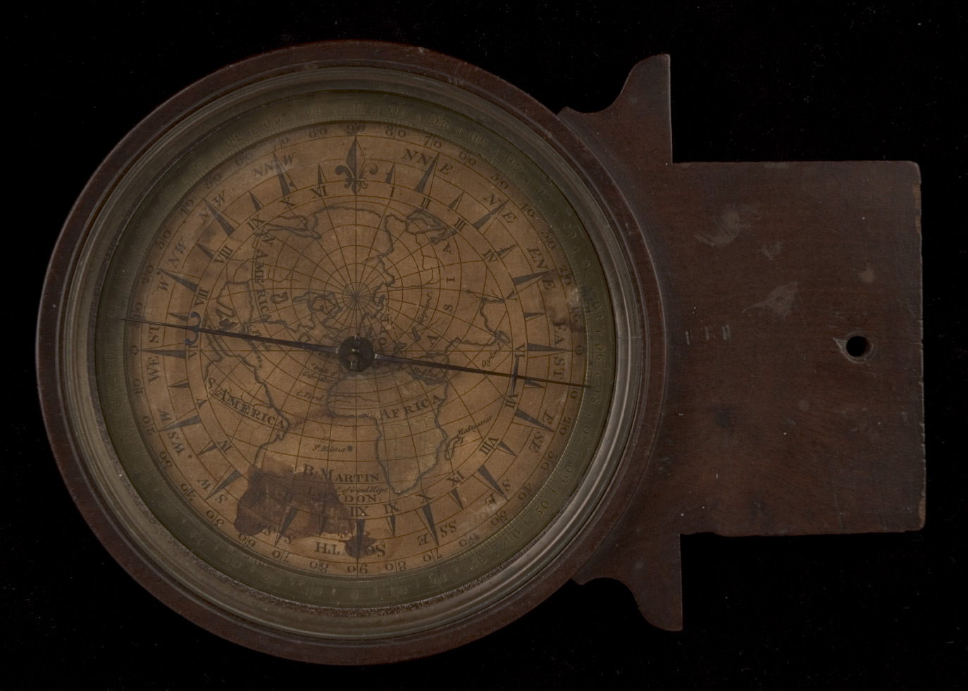
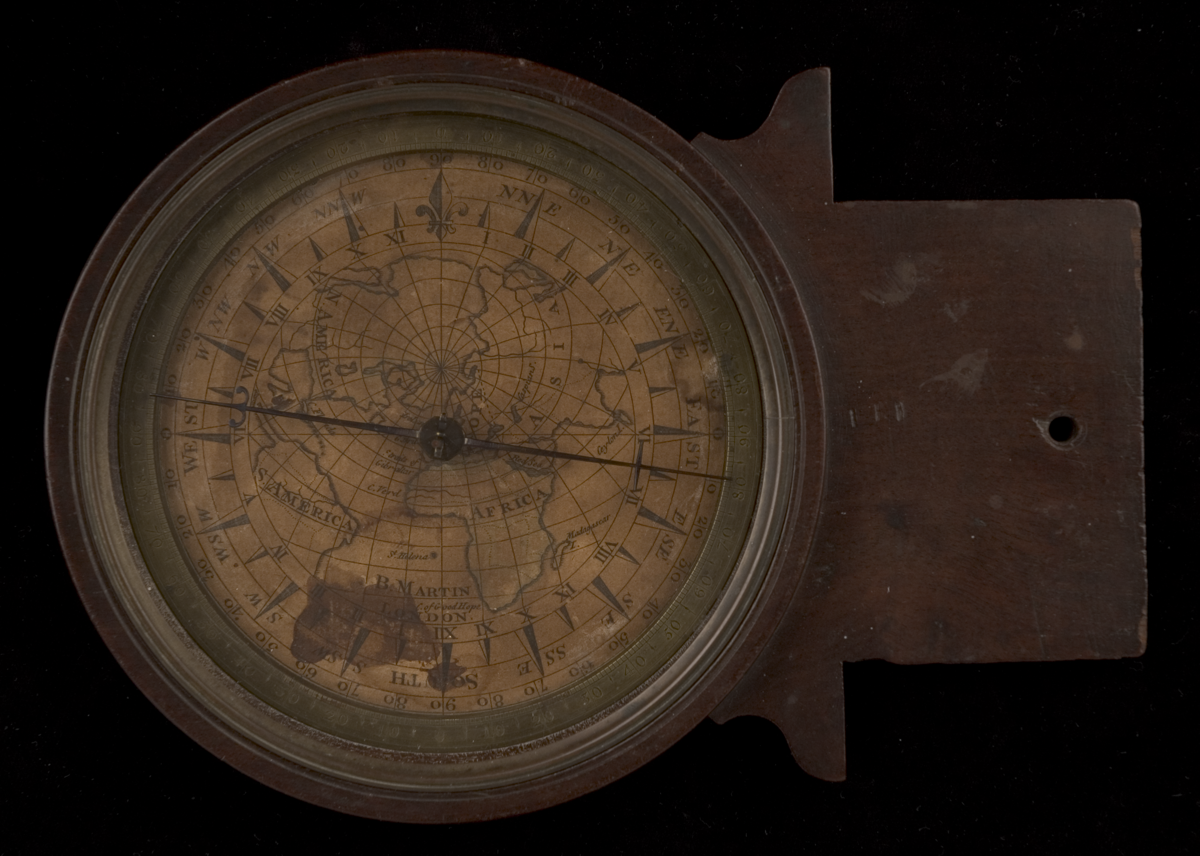
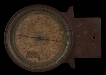
‘Globular projection’ surveying compass, by Benjamin Martin, English, c. third quarter 18th century
The compass is glazed and fitted with a printed paper rose, circumferential brass ring divided every degree and labelled every 10°, fine blued needle, and replaced glass.
The paper bears an outer degree scale divided and labelled every 10°, a 32-point rose, a scale of twice-12 hours full circle, and an unusual ‘globular projection’, centred on England and depicting Europe, Asia, Africa, N. America and part of S. America, with continents labelled and outlined with traces of hand colouring. Also shown are arcs of latitude and longitude and the names of a few capes, seas, and islands.
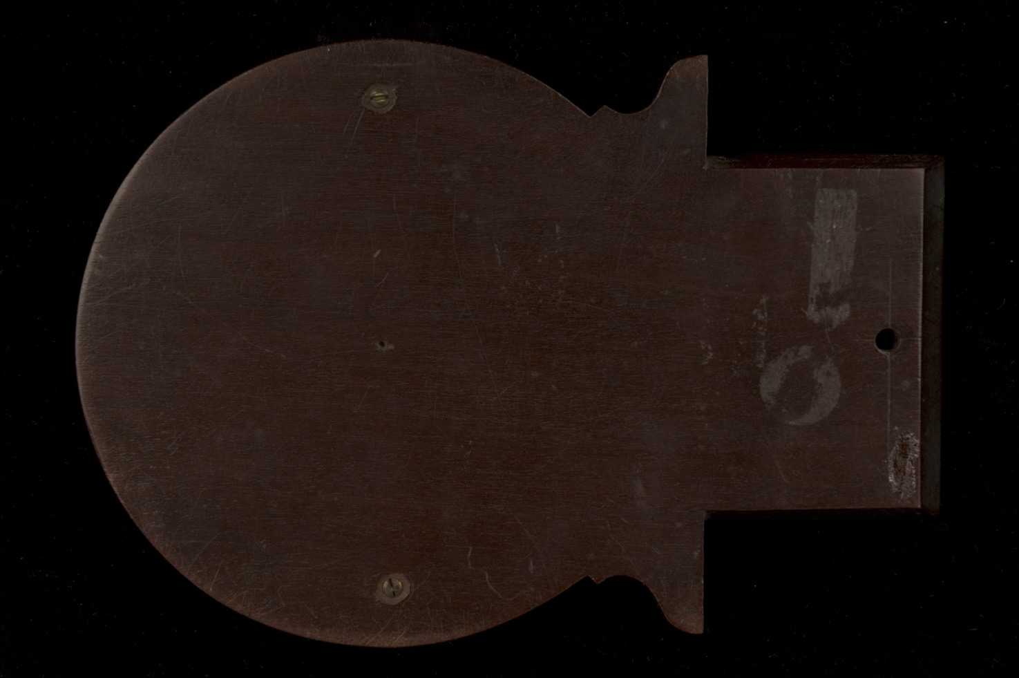
The compass frame includes a dovetail slide so that it could be mounted along one side of a surveyor’s rectangular plane table.
References
Events
Description
Benjamin Martin, born c.1704, in addition to being an author, populariser of science, and inventor, was a retailer of all manner of scientific instruments. This compass is a very rare example of Martin’s surveying compass, featuring what is apparently the oblique ‘globular projection’ which he promoted.
FM:46864
Images (Click to view full size):