Accession No
6506
Brief Description
navigation computer, instrument for solving spherical triangles, particularly for ascertaining longitude, by Casella and Company, English, 1886 (c)
Origin
England; London
Maker
Casella and Company
Class
mathematics; navigation; calculating
Earliest Date
1886
Latest Date
1886
Inscription Date
Material
metal (brass; steel); wood (mahogany); paper
Dimensions
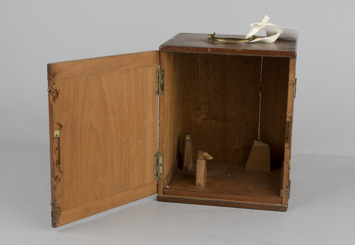
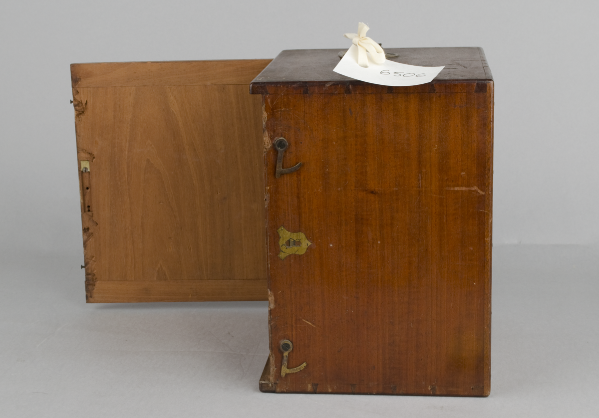
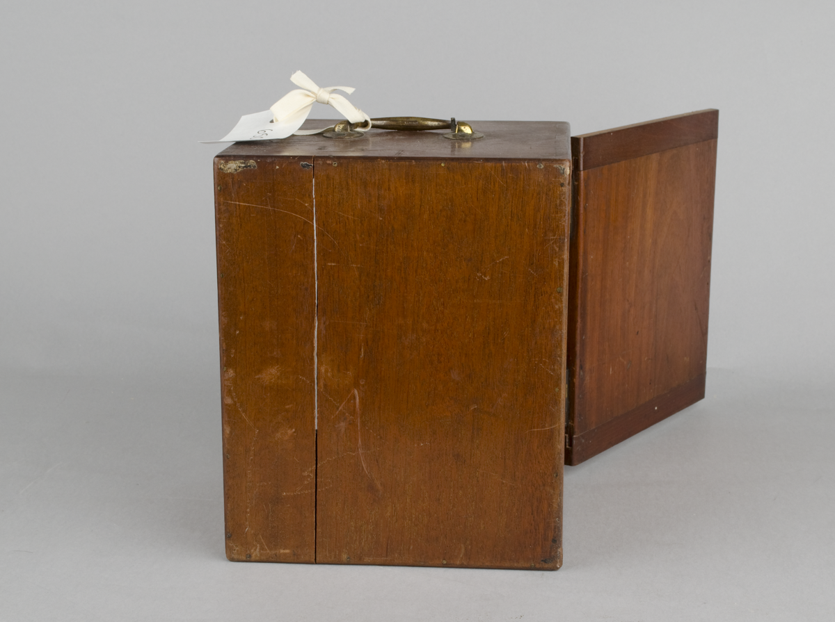
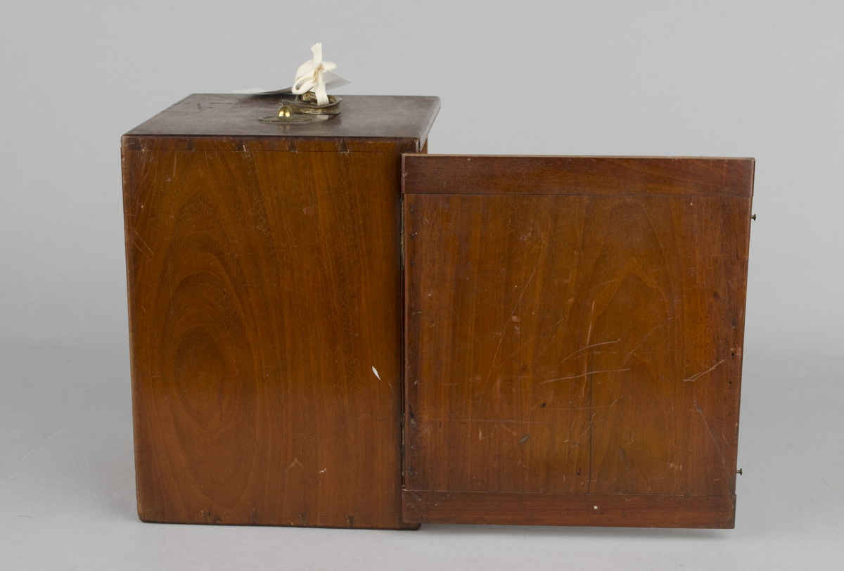
[in box] 200mm wide x 180mm deep x 250mm tall
Special Collection
Provenance
Purchased from Christie’s South Kensington, 85 Old Brompton Road, London, SW7 3LD. Lot 51 , Christie’s Sale 4826, Travel, Science and Natural History, 25 April 2012.
Inscription
“CASELLA & Co.
LONDON. S.W.”
“ALTITUDE”
“HOUR CIRCLE”
Description Notes
Instrument for solving spherical triangles, particularly for ascertaining longitude, by Casella and Co., London, England, c. 1886. In fitted mahogany box. With letter pertaining to patent application.
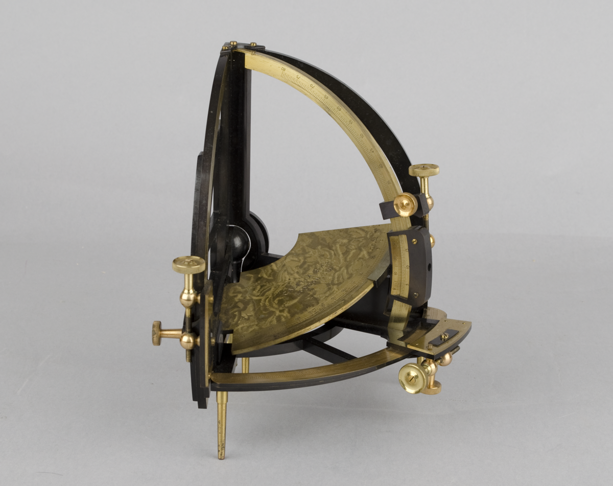
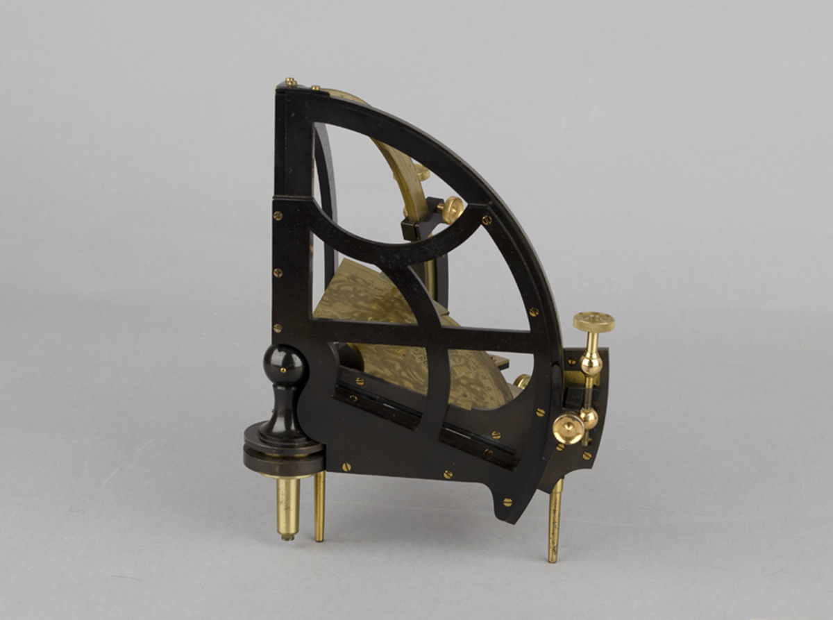
Lacquered brass instrument with four scales and verniers (accurate to 1 minute of arc), signed on the machine-tooled plane CASELLA & Co LONDON. S.W., ALTITUDE divided 0-80, the central rotating arc 0-80, the left hand plane with sextant-like lattice 40-0-40, the bottom plane with similar lattice scale 5-90 marked HOUR CIRCLE. These four arcs define altitude, declination, the hour angle and latitude.
Accompanying the instrument is a letter of acceptance of provisional specification from the patent office dated 2 Feb. 1886 for No. 622 14 Jan'y 1886: "An improved instrument for constructing or solving spherical triangles; and particularly for determining the hour-angle in ascertaining longitude."
[NOTE: Letter is in very poor condition. A full transcript of the letter is recorded in the ‘Notes’ section, below.]
Condition: Good, complete.
References
Events
Description
This instrument provides a mechanical means of solving the problem of spherical triangles in navigation, thus avoiding the need to use logarithmic tables. This problem is principally solved to find longitude at sea. The instrument has the advantage of much greater accuracy than other similar navigational devices, such as a star globe.
The four arcs of the instrument define altitude, declination, the hour angle and latitude. The verniers read to 1 minute of arc, showing the high level of accuracy that could be achieved.
This instrument is accompanied by a letter indicating that its provisional specification was awarded a patent in early 1886.
20/06/2013
Created by: Joshua Nall on 20/06/2013
FM:47016
Images (Click to view full size):