Accession No
0570
Brief Description
plane table compass, by Pierre Baillou, Italian, c. 1750
Origin
Duchy of Milan, Holy Roman Empire [now Italy]; Milan
Maker
Baillou, Pierre
Class
surveying
Earliest Date
1750
Latest Date
1750
Inscription Date
Material
metal (brass, steel, white metal); glass; hide (leather); paper (cardboard); cloth (silk)
Dimensions
length 237mm; breadth 80mm; height 50mm; case length 245mm; breadth 87mm; thickness 50mm
Special Collection
Robert Whipple collection
Provenance
Purchased by Robert Stewart Whipple from Antique Art Galleries, Grafton Street, London, England, on 06/12/1929. AAG indicated in a 1955 letter to Derek Price that they had acquired it ”In Vienna, from a dealer”. [see OHF for Wh.0365 for copy of letter].
Inscription
‘Pierre Baillou a Milan ‘ (on outer gimbal)
Description Notes
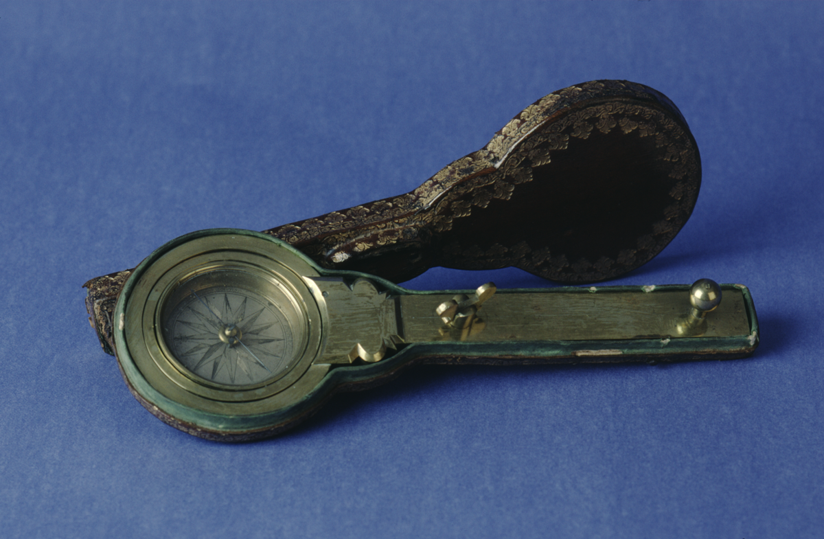
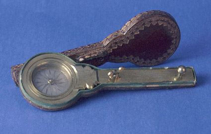
Brass plane table compass, by Pierre Baillou, Milan, c. 1750.
Brass compass. gimbal rings, the outer one screws to a brass mounting arm with a screw and a brass knob. Brass compass bowl, 16 point silvered rose, north marked by fleur-de-lys. Four cardinal points labelled ‘Septentrio’, ‘Oriens’, ‘Meridies’ and ‘Occidens’. Blued steel magnetic needle in brass mount, with arrow for north. Needle locked by button beneath bowl. Glass cover. Shaped leather- covered case with gold tooling, lined with green silk.
Complete
[NOTE: On 15/04/2015 XRF analysis was conducted on this instrument. Results and analysis are given in the ‘Notes’ field.]
References
Events
Description
This compass, mounted in gimbals, was made in Milan in about 1750. On the silvered rose of the compass, the cardinal points are marked by the winds in the traditional Mediterranean way. This instrument has a fine leather case, tooled in gold. Its purpose is uncertain – it may have been attached to a surveyor’s plane table, with the gimbal suspension allowing it to be read even when not horizontal, such as in mine surveying.
Magnetic compass
The magnetic compass consists of a magnetic needle attached to a compass card, graduated into angular points, and is used for navigation. The first known dry pivoted compass is dated as early as 1269.
The compass indicates the direction of the magnetic pole but there are problems caused by the difference between magnetic and true north (true north being the useful reading). The variation between the two must be calculated in order to obtain an accurate reading. True north was sometimes simply offset from the direction of magnetic north, but this did not allow for geographical variation. For this, charts were needed. The iron used in building ships during 19th century also led to problems because the magnetism of iron affected the compasses on board.
31/08/2006
Created by: Saffron Clackson; updated by Dr. Anita McConnell on 31/08/2006
FM:40199
Images (Click to view full size):