Accession No
3406
Brief Description
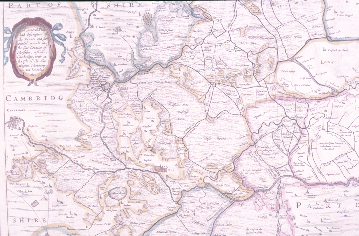
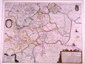
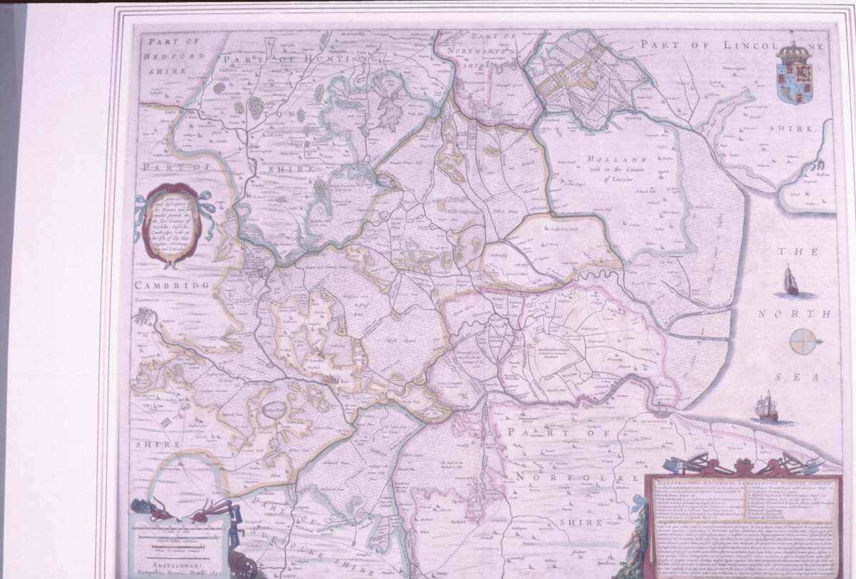
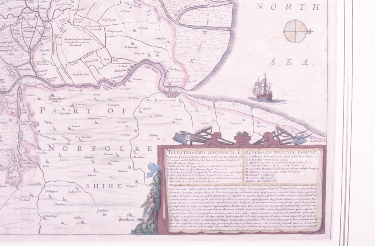
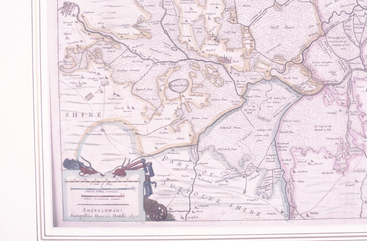
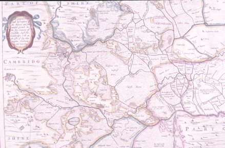
map of the Fens with shading for flooded areas, by Henricus Hondius, Dutch, 1632
Origin
Netherlands; Amsterdam
Maker
Hondius, Henricus
Class
prints; cartography
Earliest Date
1632
Latest Date
1632
Inscription Date
1632
Material
paper; card; glass; wood
Dimensions
breadth 779mm; height 649mm
Special Collection
Provenance
Purchased from Sotherby’s, London, England; lot 480, 15/07/1986.
Inscription
‘A general Plott
and description of
the Fennes and sur
ounded grounds in
the sixe Counties of
Norfolke, Suffolke,
Cambridge, with in
the Isle of Ely, Hun:
tington, Northamp:
ton and Lincolne
etc.’ (cartouche on LHS)
‘Amstelodami,
Sumptibus Henrici Hondii. 1632.’ (bottom left)
‘Illustrisimis, magnificis, et generosis dominis, dominis.…
Vestris Amplitudinibus in ombinus servire paratus Henricus Hondius.’ (bottom right)
Description Notes
Map of the Fens with shading for flooded areas, by Henricus Hondius, Dutch, 1632.
‘A general Plott and description of the Fennes and surounded grounds in the sixe Counties of Norfolke, Suffolke, Cambridge, with in the Isle of Ely, Huntington, Northampton and Lincolne etc.’
Hand-coloured engraved double page print, ‘The Description of the drowned lands…’ on the riverside. Slight browning. Colouring messy in some parts.
Mounted and framed.
Condition good; complete
References
Events
FM:41003
Images (Click to view full size):